Update: This post was written in 2011 and a lot has changed since then. For one, most of us have apps like Gaia or FATMAP on our phones so you don’t need to follow printed directions off the internet. Also, the CRD has developed this park and put in a large parking lot, bridge over the creek and navigational signs. This park is now called the Sooke Hills Wilderness Regional Park.
Original post below. Leaving this for archival purposes.
Sugarloaf was one of the first mountains in the Sooke Wilderness area that we hiked. Since our first summit, the mountain has proven harder to find. We’ve gone back two or three more times and just couldn’t find the darn thing … until yesterday.
Here is my edited version of vancouver islander’s directions on summit post with some updated info and photos.
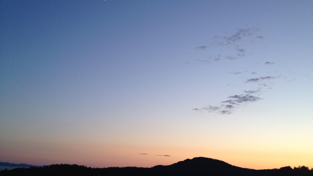
Sugarloaf (363m – 1191 ft. 3-4 hour loop.)
Approach from Victoria on Highway 1 and take the Colwood exit in the direction of Sooke. Soon after leaving the main highway you will pass Six Mile Pub on your right. Set your trip meter to zero here. Continue towards Sooke and at exactly 12.4 km pull off the highway into a large cleared area with a set of community mailboxes. Park here. Starting altitude is about 110m.
Walk back along the highway for 6 hydro poles (about 300m). Immediately past the 6th pole – at the point where the power lines cross the highway – you should find a path leading into the woods. Take it. If you’ve got it right, you’ll come across an old blue wrecked car almost immediately. Go ahead for 5 or 6 minutes and you’ll arrive at Veitch Creek.
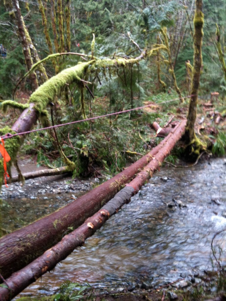
In the summer, Veitch Creek is almost dry. In the winter, you used to have to ford the creek. Luckily, some generous folks recently built this log bridge to save us all from getting our feet a bit wet.
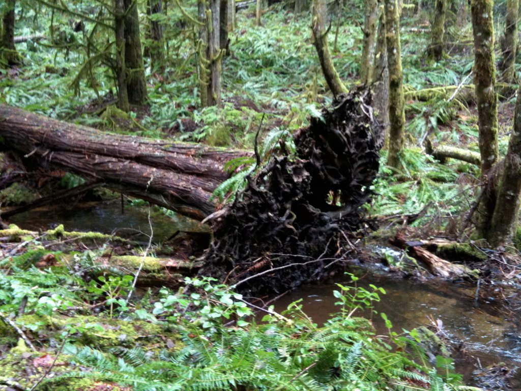
After crossing the creek, climb up a small hill to an old logging road. Go to the right. Walk for about 15-20 minutes along this old logging road, looking for a small spur trail on your left just after the logging road meets the creek and starts to climb up a small hill. It will be the first spur trail that you see and will be flagged. Take this trail into the valley between Sugarloaf and a lower, unnamed knoll to its northeast. The route is well flagged.
About half way to the base of Sugarloaf (10-15 minutes of walking), small trails branch off in several directions. Here is where we usually get lost. My advice to you is to keep looking for flags as you go forward — as the path to Sugarloaf is very well flagged and well used. If you don’t see any flags for a minute or so of walking, you’re probably going in the wrong direction. Turn around and look for other paths and flags. The trail follows a small creek much of the way.
After about 25 minutes, you’ll be almost at the end of the valley. The trail makes a sharp turn left and heads up Sugarloaf. Many different coloured flags around several prominent trees indicate this point. Follow the flagging up to the summit from here in about 15-20 minutes of steep going.
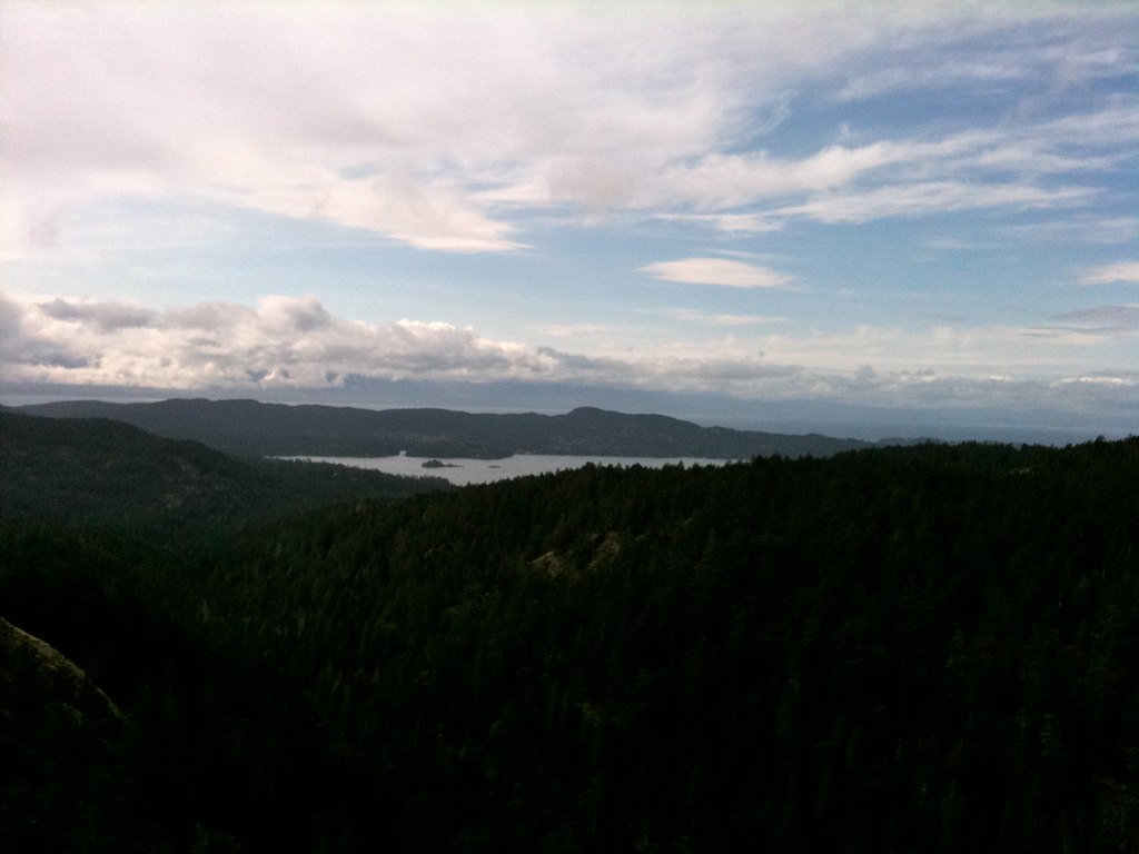
As you arrive in the summit area, the top of the rock climbing bluffs is to your right and the actual summit to your left. The summit is marked by a cairn and a couple of metres away is a BCS survey marker.
Complete the circle by going off the summit to the south between two rock walls. Descend steeply on the left of the climbing bluffs and right to their base to intersect the climbers’ path. The right fork goes to the bluffs and the left leads out to the road.
Follow the trail for about 35-40 minutes and turn left onto the down to the old logging road along Veitch Creek. Walk along the old logging around for about 10 minutes, and you’ll be back where crossed Veitch Creek at the beginning. Climb down the small hill, make your way across Vietch Creek. Finish the short walk back to the highway and then back to your car.
Leave a Reply