Updated: This was posted in 2011 and a lot has changed by then! Enjoy this taste of early GPS apps on your phone.
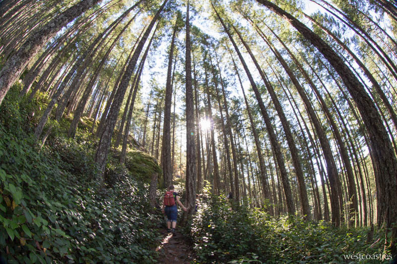
Today was a short hike sort of day, so we just popped up to John Dean Park in Sidney for a quick 90 minute loop. A real park, with a real parking lot, with marked trails. Next to a suburban housing development.
Not the sort of thing I’d normally have much to write about in my hiking blog. (We saw poodles on leash! We smelled women wearing too much perfume!)
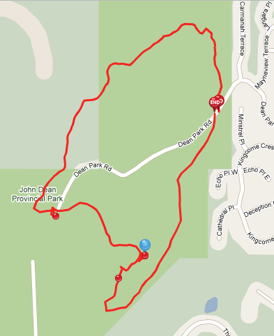
But I did get a chance to try out this new free iPhone App developed by the creators of the website EveryTrail. This app is so cool! When you launch the app, you can turn on GPS tracking as you hike. When you take pictures with the iPhone camera, they are automatically inserted to the place where you took them. With a few clicks, you can upload a few trail notes and then your trail, maps and pictures are online.
Here’s what I created on my iPhone from our hike in John Dean Park. It took me maybe all of five minutes, if that. The map is pretty darn good, too!
I am hoping to use this to track some of the more remote hikes we do. The only concerns I have is that this 2 hour hike drained my battery down to about 30% capacity. Also, cell signal is not available everywhere in the Sooke Hills. However, I did find this guide to Empress Mountain made with the iPhone app. Empress Mountain is one of the highest peaks in the Sooke Hills that’s quite far away from a road. It’s easily a 5+ hour trip. But it seems to be possible! Stay tuned.
Discover more from We Belong Outside
Subscribe to get the latest posts sent to your email.

