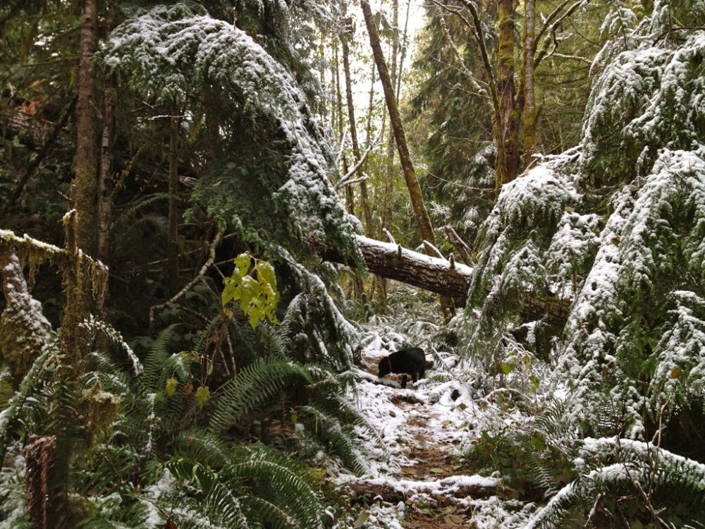
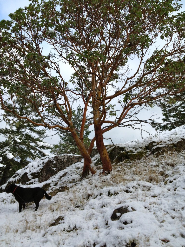
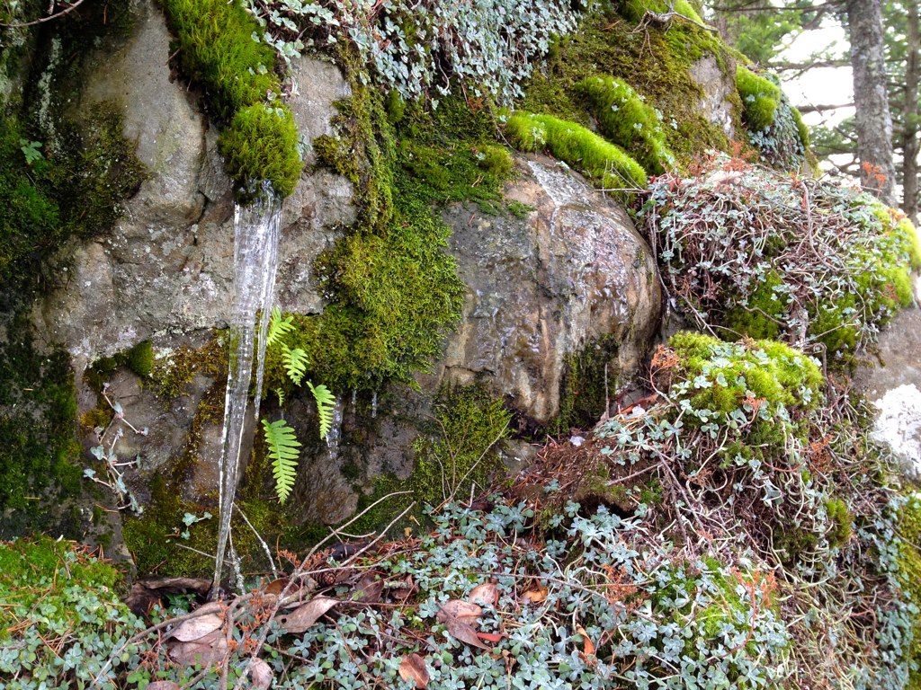
Last week it snowed in the Sooke Hills. And it was simply beautiful.
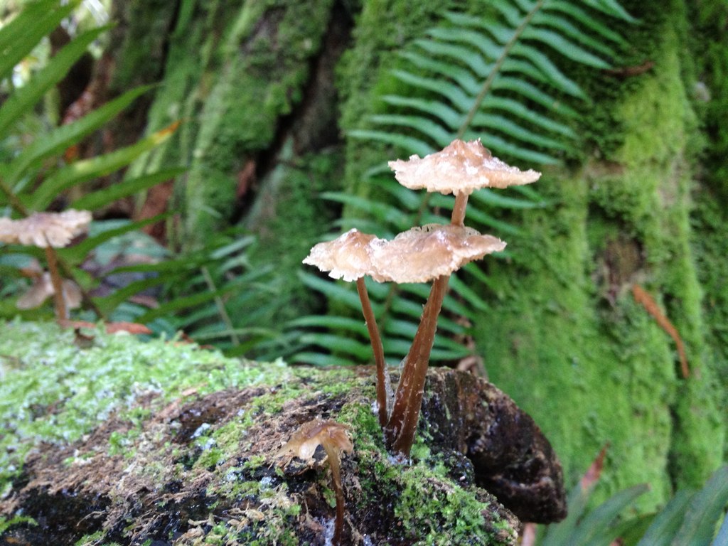
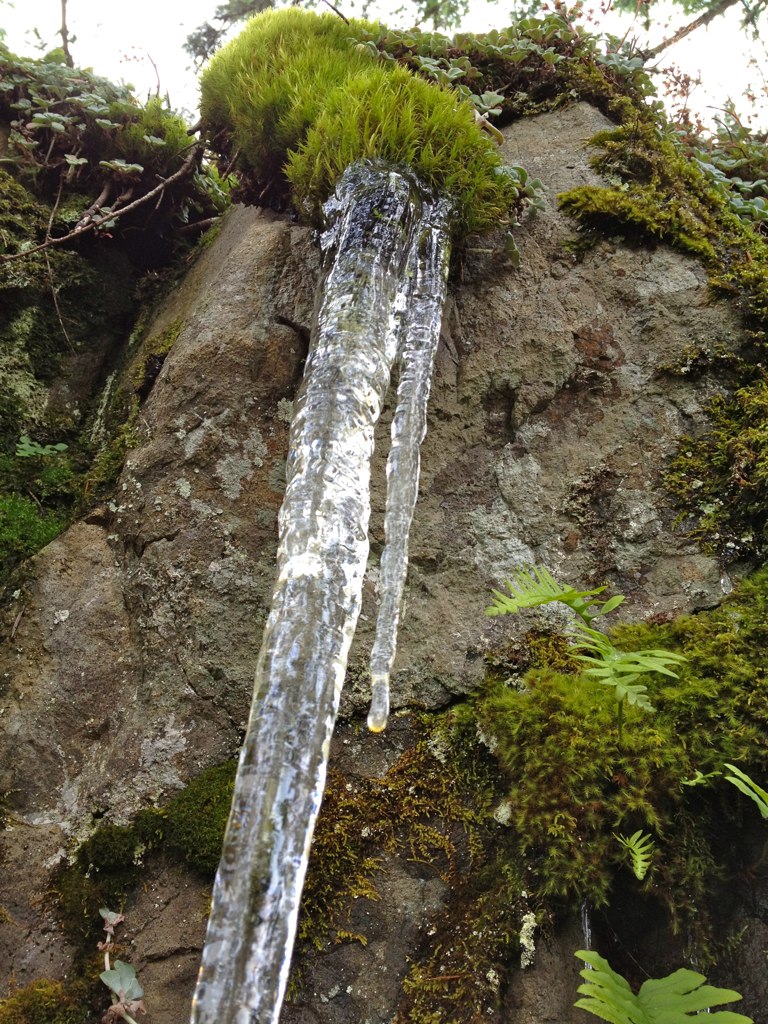
It’s mushroom season, which is my favorite. So the little mushrooms were covered with ice. And the rocks had icicles.
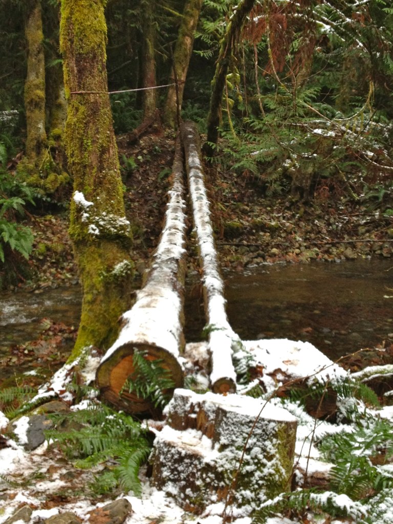
My favorite part was that some good Samaritan had covered the bridge with metal treads so no one slips when they’re crossing.
It wasn’t even that cold in Victoria, so it was quite fun to drive 30 minutes out of town and get to see winter.
5 thoughts on “Snow in the Sooke Hills”
nice photos, where abouts in the Sooke Hills were these taken?
These ones were taken on Sugarloaf Mt … or on the way there 🙂
I haven’t hiked that one yet, where is the trailhead? On Sooke rd. I think, near the mailboxes? What other hikes do you reccomend? I have done Mt. Wells, Mc Donald, M Quimper ,Lone Tree Hill, Mill Hill, Broome Hill and lots of hiking in East Sooke Park. Thanks!
The “trailhead” is off the side of the highway near community mailboxes. 🙂 Here is the info that we used to get started hiking in the Sooke Hills, directions for Sugarloaf on here too: http://www.summitpost.org/capital-regional-district-victoria-bc/225767.
I found that the directions for Sugarloaf on that site were a bit confusing, so I rewrote them, added GPS coordinates and uploaded them to everytrail: http://www.everytrail.com/view_trip.php?trip_id=1034588
Enjoy — and let me know how it was if you go!
June, thanks for the info! And I saw the summitpost website-fantastic, just what I was looking for! Happy hiking and maybe see you out there!